Laurel Hill County Park: How Much Land Would Highway 41's Parkway Take?
November 12, 2026
November 12, 2026
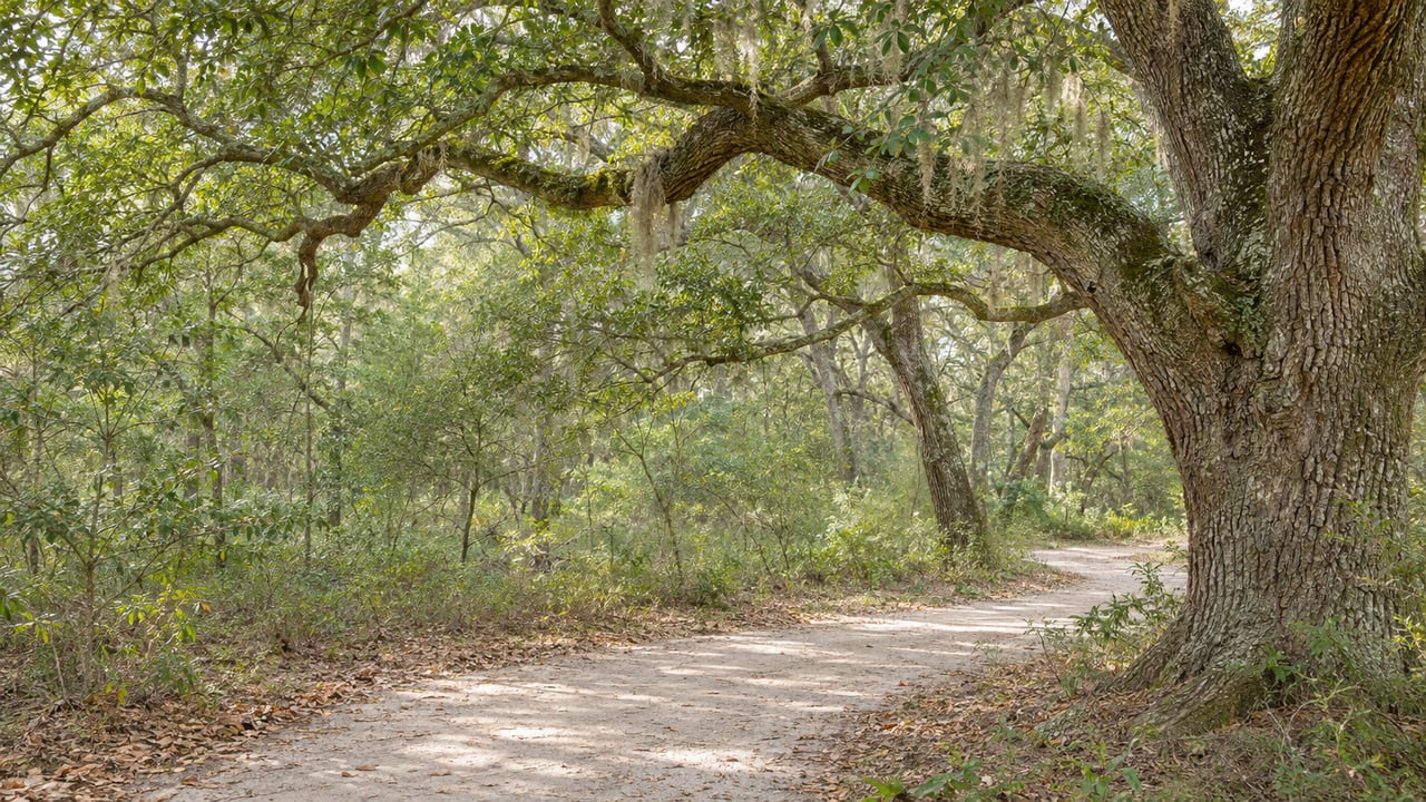
Laurel Hill County Park covers 745 acres off Park West Boulevard. Charleston County's Highway 41 plan would run a new two-lane road through it. Most of the debate over that road has been about the park, but the county's own numbers describe a much smaller footprint than the park's size suggests. The parkway would affect about 10 acres and none of the marked trails.
The project is now waiting on a court filing and federal permits, and none of that touches the trails. The loops Dunes West uses for a morning run or a weekend ride sit outside the road's planned route. The open question is when and whether the road goes in at all.
Laurel Hill is open daily from sunrise to sunset, with no separate winter schedule. Admission is $1 per person, and Gold Pass holders and children 2 and under get in free. It is a rustic park with no restrooms, so bring your own water.
Charleston County Parks' trail map shows six color-coded loops, all on natural, unpaved surfaces:
| Loop | Length |
|---|---|
| White | 0.5 mi |
| Green | 1.3 mi |
| Blue | 1.4 mi |
| Yellow | 1.7 mi |
| Orange | 2.2 mi |
| Red | 4.8 mi |
The map also marks two out-and-back routes from the trailhead, 1 mile to the oak allée and 1.1 miles to the lake. The park listing describes the trails winding through woods and open meadows to a small lake overlook. It lists birding, fishing, mountain biking and picnic tables. Dogs are welcome on a leash.
The park also has a Compass Course, an orienteering route you work through with a map and compass. It was designed and installed as an Eagle Scout project. It's a good outing for kids who have outgrown the shortest loop.
Two addresses matter. The park's listing gives 1251 Park West Blvd, while race-day events use an entrance at 1400 SC-41, on the Highway 41 side.
The Highway 41 Corridor Improvements project would widen Highway 41 to four lanes from Clements Ferry Road to Dunes West Boulevard and Rivertowne Parkway. It would narrow to three lanes through the historic Phillips Community, then return to four lanes from Bessemer Road and Joe Rouse Road to Highway 17. The county calls this the 4-3-4 layout.
The fourth piece is Laurel Hill Parkway. The South Carolina Department of Environmental Services describes it as a 1.3-mile new road between SC-41 and Park West Boulevard, with a connection to Bessemer Road made by extending Dumont Road. The county's environmental report shows it tying into Park West Boulevard at a new roundabout.
At a Mount Pleasant Transportation Committee meeting on June 1, 2026, the project team gave the park impact in specific terms. According to the meeting minutes, the road would affect about 10 acres of a 750-acre park, with no trails impacted. The minutes also say the right-of-way deed would restrict future curb cuts and access points along the parkway unless council changes that.
That deed restriction helps explain why the trail system would come through intact. The parkway is designed as a pass-through. No new driveways or side entrances could branch off it into the woods. The county's July 14 presentation to the town added more detail. It listed a limited-access design with no driveways or curb cuts, a boardwalk crossing to reduce impacts to tidal marshes, and more than 400 new trees in the landscape plan.
The county's case for the road is aimed at Dunes West directly. On its Laurel Hill Parkway page, the county says the connector would give Dunes West and Park West residents a new direct connection to Highway 41. It would be an alternate route into Mount Pleasant that avoids the historically congested section of Highway 41. The county projects daily trip savings of 10 to 20 minutes for those neighborhoods by 2045.
Ten acres and zero trails is how the county describes it. Opponents see it differently, and their objections had already shaped the vote before anything reached a judge.
Live 5 reported that Mount Pleasant Town Council voted 5–4 on July 14 to give municipal consent to the current design. The Laurel Hill Parkway drew the most opposition from residents because of its impact on the park. Environmental groups supported the plan as the option with the least environmental impact. Charleston County said project funding could have been at risk without the town's consent.
State permits came next. The Post and Courier reported that SCDES issued the county a critical area permit and coastal zone consistency certification on Sept. 3. Conditions include controlling erosion around the construction site and a stormwater mitigation plan. The county must also buy mitigation bank credits to offset roughly 12 acres of wetlands that construction would disturb.
On Oct. 2, Smart Growth 41 and the Park West Master Association asked the S.C. Administrative Law Court for a contested case hearing on that permit. They asked the court to have SCDES either revoke it or require the county to rework its plans before reissuing it. In a joint release quoted by The Post and Courier, the groups described the filing this way:
"the next step in our continuing effort to protect Laurel Hill County Park, surrounding neighborhoods and the waterways on which our communities depend"
The same report says the groups plan to argue that SCDES did not adequately evaluate the project's effects on wetlands, water quality and related issues before issuing the permit. ABC News 4 reported on Oct. 7 that the project still needs a U.S. Army Corps of Engineers permit and that the case could delay the Corps' decision.
Here is how the project has moved since summer, and where it stands this week:
The Post and Courier says crews could break ground as early as 2027. That is two separate open questions, the state permits on hold and the federal permit still pending, before any equipment reaches the park's edge.
While the road waits on permits, Charleston County Parks has kept programming the park. The next event is the Off Road Duathlon on Saturday, Jan. 9, 2027, starting at 8:30 a.m. It is billed as beginner-friendly and run in partnership with Anne Moore Endurance Coaching. The course is a 2-mile trail run, a 7-mile bike leg and a final 2-mile run, and registration is open through the county parks system.
That race stages at the 1400 SC-41 entrance on the Highway 41 side. That puts it on the same stretch of road as the corridor project, at the start of the year the county once targeted for groundbreaking. The road project itself has no construction date while the state permits stay on hold and the federal review continues.
For a routine visit, nothing has changed. The gates open at sunrise and close at sunset, the admission box still takes a dollar, and the 4.8-mile Red loop is still the longest marked route in the park. The park rules still require dogs on a leash and cars in designated parking.
Highway 41 is part of every Dunes West morning, and the outcome of this case will shape traffic patterns and commute times around the neighborhood for years. If you're thinking about what those changes could mean for your home's value, Roslyn Kay Parker tracks this corridor closely and can walk you through it. Request a Free Home Valuation and we'll put current numbers next to the road project's timeline.

Roslyn Kay is not your typical 9 to 5 Agent that waits on an opportunity for clients, she creates it! The time is now, let's make history together. Contact her today to find out how she can be of assistance to you!
Get In Touch With Me To Learn More

ROSLYN KAY PARKER
700 Nexton square Drive, Summerville, SC 29486